We have
the best
solutions for you
Thanks to our experience we will be capable to help you in reaching the goals you aim
Remote
Sensing
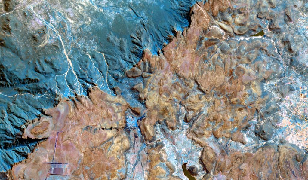
- Satellite and drone image processing
- Development of environmental variables
- Crop and forest monitoring
- Big Data and image classification
Geographic Information
Systems
- Urban and land planning
- Analysis and assessment of natural hazards
- Transport and communications
- Studies on land dynamics
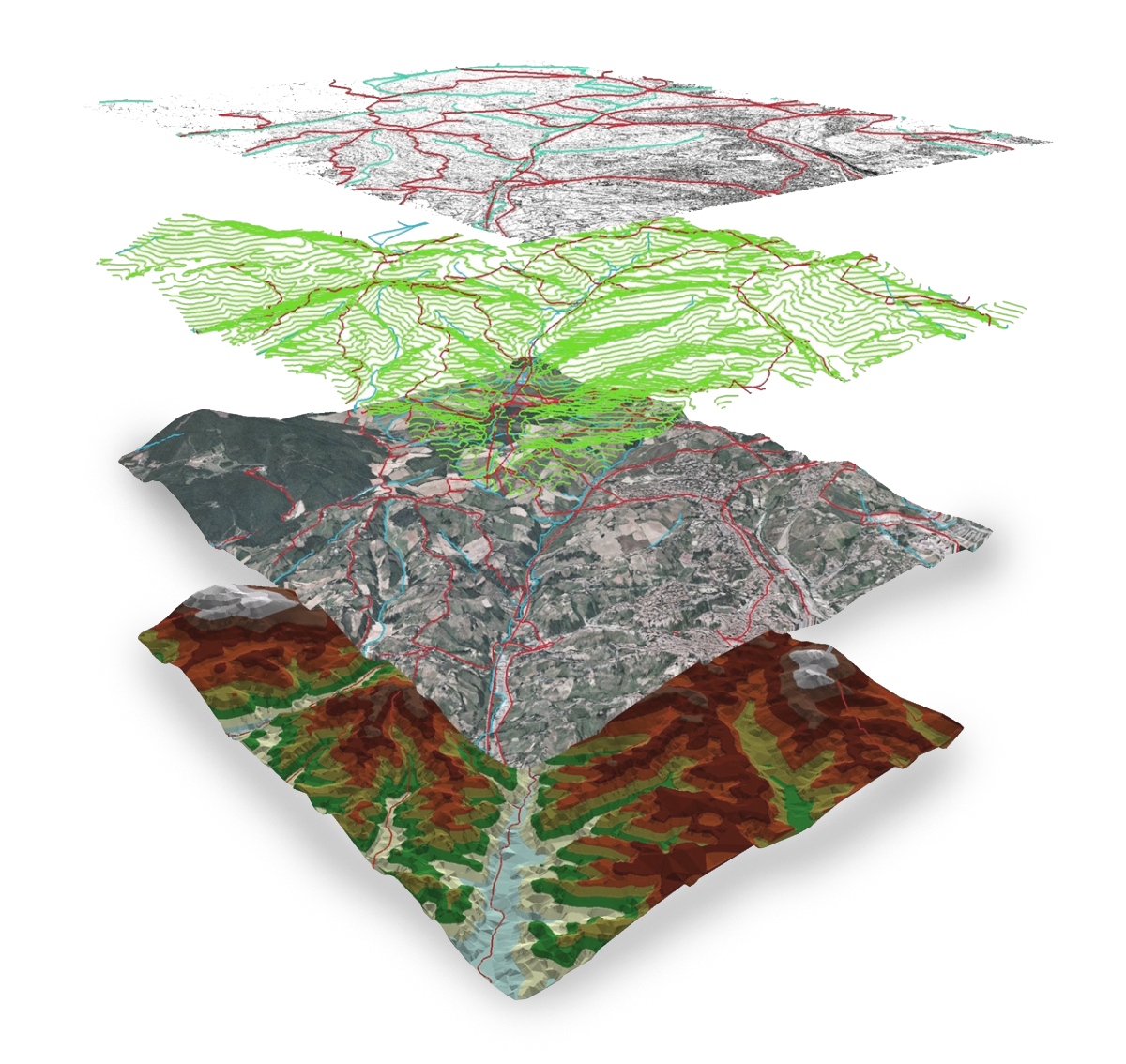
Production of topographic and thematic cartography
- Topographic cartography
- Thematic cartography
- Touristic cartography, both in press and electronic formats
- Development of touristic guides
- Routes signalling
- Online cartography and web mapping services
Information and Computer Technologies
- Process automation
- Software development
- Simulation models

Implementation and Assessment of Rural Development Programmes
Design of rural development plans
Assessment of rural development programmes
Capacity building
The link between COMPLUTIG and the University of Alcalá, together with our own teaching and scientific experience, allows us to offer tailored teaching and capacity building programmes on geomatics and cartography.