Science and Technology serving the society
All our projects are unique

Agrotig
A web mapping tool is being developed for cereal crop monitoring with remote sensing, as support for decision making in rainfed agriculture.

Planageo
Production of the topographic and geologic cartography of Angola at 1:100 000 scale, building capacity for producing the topographic baseline for the Angolan Ministry of Geology and Mines.
SAR pilot study
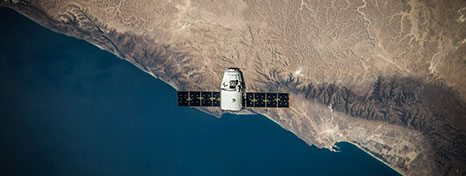
Assessing RADAR imagery for burned area mapping in tropical areas.
Census mapping in Equatorial Guinea
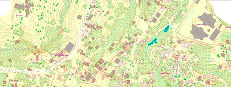
Development of a cartography for Equatorial Guinea for planning censal tasks and the assessment of results.
Burmap
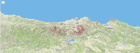
Using machine learning for a real-time burned area detection algorithm in Cantabria (Spain).
The National Atlas of Spain
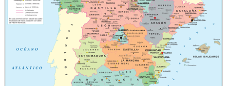
We produced thematic cartography for the National Atlas of Spain. The tasks included from database gathering, production and normalization, to the creation of the final maps.

Rare disease webmap
We developed an online atlas with epidemic information of rare diseases based on population and mortality.
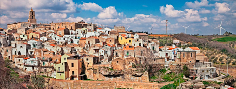
Proposal of indicators for impact assessment of LEADER programme in rural areas
Design and application in a pilot area of a set of indicators for assessing the long term impact of LEADER projects.

Assessment of LiDAR technology in estimating forest carbon stocks
Delivery of a technical report on the usage of LiDAR data for estimating biomass in tropical forests.

FUME
We supplied a burned area cartography using NOAA-AVHRR imagery for the 1981-2000 period.
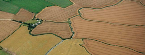
Potential areas for maize cultures in Angola
We used remote sensing and GIS techniques for the optimal locations for planting maize in Angola.
Calculation and enrolment in the Carbon Footprint Registry of the Department of
Environment of Spain
We computed the carbon footprint for 85 rural municipalities, as well as we developed emission reduction plans.

Quality control software for geologic cartography
Development of an open source software for quality assessment of the geologic cartography of Angola.
PhotoMARE
We collaborated in producing an integrated submarine photogrammetric system for mapping the ocean bed.
CO2LABEL
The objective of this operative group is to enhance the reduction of greenhouse gas emissions in the agrifood sector, by computing the carbon footprint and improving competitiveness with the usage of ecolabels.
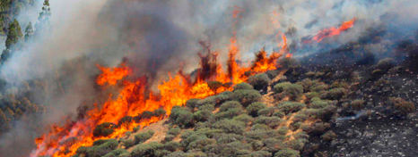
European Forest Fire Information System:
Fuel Moisture Content
We developed both a methodology and an operative software, based on satellite data, for fuel moisture content estimation at European level.
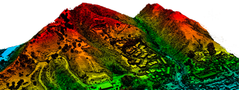
Technical consulancy in LiDAR technology for forestry
We performed capacity building courses for using LiDAR technology in estimating forest structure.

SaFoT
We are studying an operational methodology for monitoring forest health in woodlands and peri-urban parks within the Autonomous Community of Madrid using satellite and drone data.

SIEGA
The operative group SIEGA aims at designing a decision support system for extensive livestock farming in mountain pastures. This will be achieved with the development of a Geographic Information System that combines both remote sensing pasture monitoring and GPS livestock positioning.

Metadata design and upload for Geonetwork cartography
We developed a metadata model following ISO Standards for diferent types of cartography, as well as the production of templates for Geonetwork.
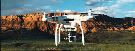
Adqusition and processing campaign of remotely piloted aircraft imagery
In collaboration with CSIC within the FluxSpec project, we collected and processed spectral data onboard a remotely piloted aircraft system.
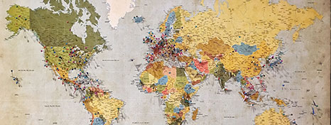
Editing cartographic baselines at global scales
We provided a service for gathering, integrating and editing cartography of the main World geographic layers at 1:1.000.000, 1:10.000.000 and 1:50.000.000 scales.

EMSN032: wildfire damage asseesment
We developed products for one of the Copernicus Emergency Monitoring System Mapping Activation in Portugal (ref: EMSN032).
