Geographic
Information
Technologies
The latest advances in remote sensing, GIS and cartography at hand
About us
COMPLUTIG (Complutum Tecnologías de la Información Geográfica SL) is a technology-based company at the University of Alcalá that offers advanced solutions in geomatics and cartographic products. COMPLUTIG builds-up on the technological transfer and know-how from UAH’s Department of Geology, Geography and Environment.
We have solutions for you and your company
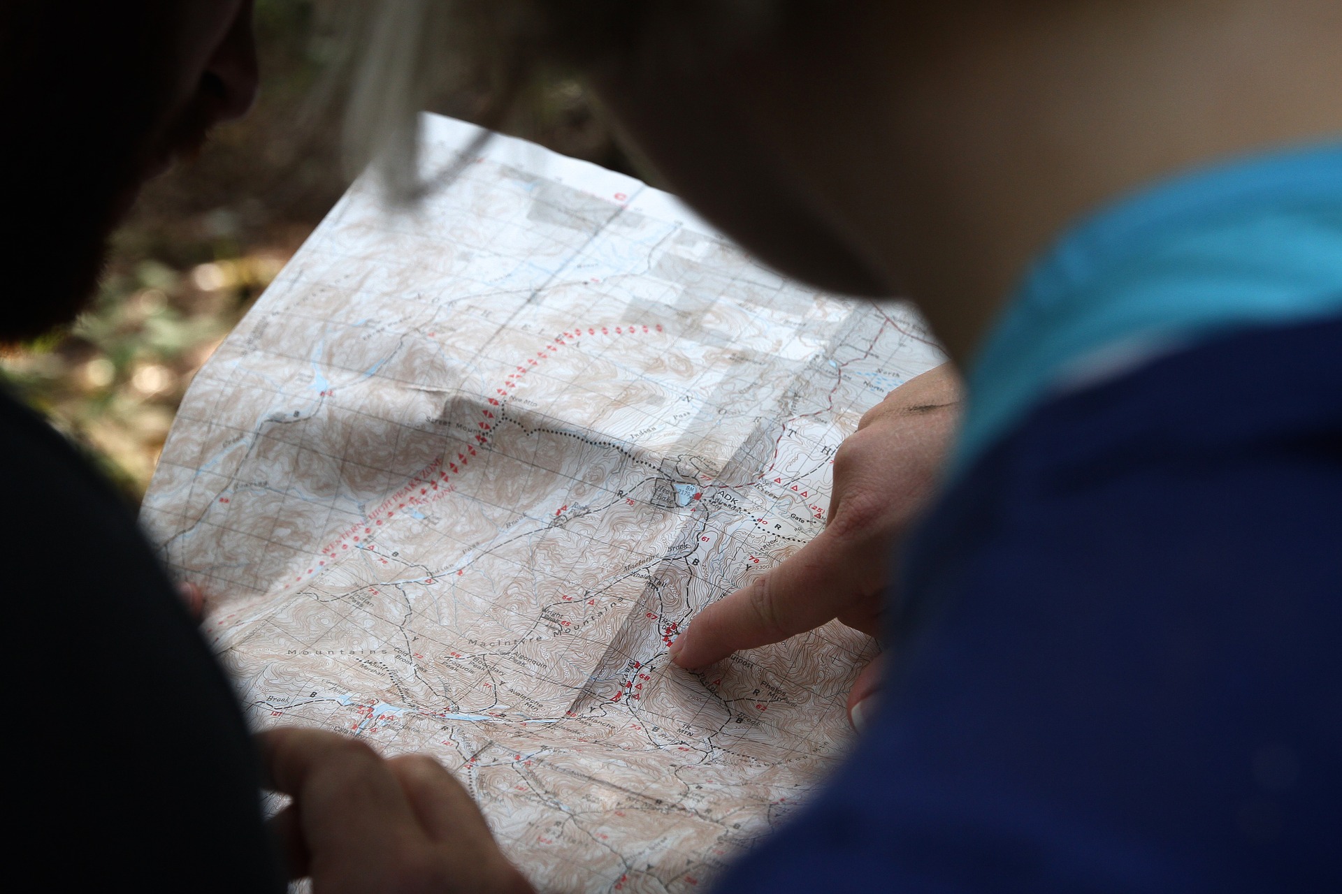
Remote sensing
Acquisition, processing and analysis of remote sensing imagery for terrain analysis
and management.
Computer Technologies
Software development based on open source libraries.
Cartography
Production of thematic and topographic maps, in both digital and print formats.
Design of thematic atlas and touristic cartography.
Environment and Rural Development
Design and assessment of projects and programmes for rural development.
GIS, Geographic Information Systems
Set of computer tools and geospatial databases for terrain analysis and its
cartographic depiction.
Capacity building
Development and building capacity in dedicated and customized courses in
geomatics.
Thanks to all those who
have trusted in us…


More


We have worked in several projects developing solutions tailored to our client’s needs.